

 ع
ع

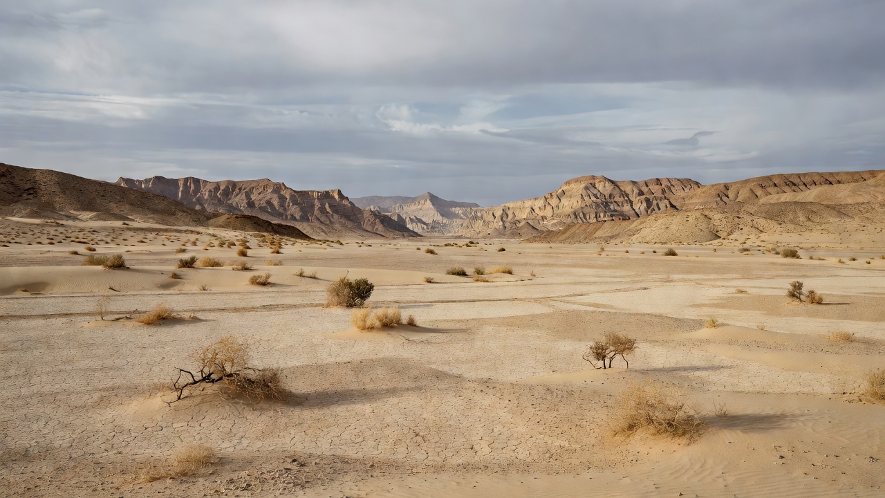

The National Center for Meteorology warned on April 24, 2026, that moderate to heavy thunderstorms with heavy rain would persist across much of Saudi Arabia, raising the threat of flash floods, hail and sandstorms in the Eastern Province, Northern Borders, Al-Jawf, Hail, Al-Qassim and Riyadh as well as the western and southern highlands including Madinah, Makkah, Al-Baha, Asir and Jazan. The General Directorate of Civil Defense urged the public to stay away from valleys and flood-prone areas while monitoring official updates, as the unsettled conditions that began on April 20 have already produced localized flooding and sandstorms that restricted visibility in parts of the country.
The National Center for Meteorology indicated that light to moderate storms were likely in Tabuk and Najran with night and early morning fog expected to reduce visibility in several areas. According to NCM assessments, a powerful jet stream has drawn deep tropical moisture from the Indian Ocean into the Arabian Peninsula, driving the current instability. This atmospheric setup has sustained the active weather pattern now entering its later stages.
NCM data shows rainfall levels have soared more than 160 percent above the seasonal average in some provinces during this intense spring period. The center reported that the rains since April 20 triggered localized flooding in low-lying areas of Riyadh and the Eastern Province where wind-blown sand preceded the heaviest downpours and further hampered visibility. Forecasters have maintained alerts as the system shows limited signs of immediate weakening.
The General Directorate of Civil Defense emphasized in its guidance that dry wadis can rapidly turn into torrents during such events, requiring strict adherence to safety protocols. Officials recommended that residents consult dedicated weather applications and avoid unnecessary travel through affected zones especially after dark. The directorate’s repeated cautions reflect ongoing efforts to limit exposure to sudden flooding hazards across vulnerable terrain.
The National Center for Meteorology had forecast above-average rainfall for several regions at the start of 2026 alongside warmer-than-normal temperatures in its seasonal climate outlooks released in January. According to the center, this early-year projection has aligned with the succession of weather systems observed through April. The spring continuation of wetter conditions has prompted multiple rounds of public warnings from both the NCM and civil defense authorities.
Earlier NCM alerts in mid-April covered many of the same provinces now under watch for continued thunderstorms, as similar unstable patterns swept through the kingdom. The center’s real-time monitoring has documented how these systems produced the initial heavy precipitation and associated disruptions beginning around April 20. Meteorologists continue to track the moisture inflow that has prolonged the episode beyond initial expectations.
The National Center for Meteorology will issue further updates as the weather pattern evolves in the coming days with a focus on potential shifts in intensity across the affected regions. Residents in impacted areas have been reminded to prioritize precautions during periods of reduced visibility and heightened flood risk. Such sustained alerts underscore the scale of the current spring instability relative to typical seasonal norms.