

 ع
ع

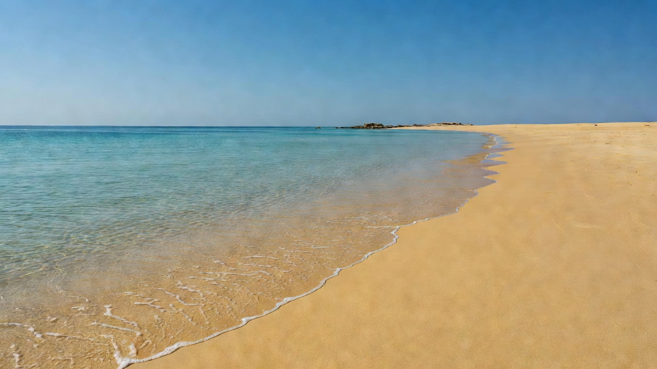

Oman’s Environment Authority reported on Saturday that no effects of the oil pollution had reached the shores of Masirah Island so far even as teams continued field operations on a 12-kilometre stretch of affected coastline near Ras Madrakah in the Duqm area. The authority’s assessment relayed through the state news agency ONA added that the offshore slick continued moving southeast toward open sea away from the island with monitoring and response activities still under way across the impacted sites. Earlier in the week the same body had projected possible pollution along up to 40 kilometres of Ras Madrakah shoreline and 10 to 20 kilometres of southern Masirah beaches after oil from the spill began washing ashore on Wednesday.
The Environment Authority has coordinated with the Civil Defence and Ambulance Authority under a national hazardous materials committee to intensify surveys that employ satellite imagery numerical modelling and on-site inspections to track the slick’s path and limit further damage. According to the authority fishermen beachgoers and the public have been instructed to avoid any visible pollutants and to report sightings immediately to designated channels so that specialists can handle them safely. These integrated efforts have produced the latest determination that Masirah remains unaffected while operations focus on the mainland segment already reached by the oil.
The pollution originates from the Caroline Bezengi a sanctioned shadow-fleet tanker carrying an estimated 800000 barrels of Russian crude that grounded near Al Qibliyah island in the Hallaniyat archipelago of Dhofar Governorate on June 30 following what reports described as a possible attack. Greenpeace Germany analysis of satellite imagery had shown the leak accelerating in early August with the slick expanding to cover roughly 600 square kilometres before coastal impacts appeared a fourfold increase from days earlier. Reuters tracking of the vessel indicated the spill had unfolded over more than two months with limited visible stabilisation activity at the site during that period.
Masirah Island together with the adjacent Bar al Hikman zone ranks among the Arabian Peninsula’s most significant areas for wintering and migrating waterbirds while supporting one of the region’s largest nesting populations of loggerhead sea turtles along with coral reefs and seagrass meadows. The Key Biodiversity Areas database identifies the location as a global site of international importance with more than 70 percent of its territory covered by proposed nature reserves that protect these habitats. Preservation of the island’s marine environment carries added weight for local communities dependent on fishing and for Oman’s broader coastal conservation strategy.
Response teams have maintained continuous monitoring since the initial grounding with the Environment Authority reaffirming its commitment to updating the public through official statements as developments unfold. The tanker incident has drawn international attention to risks posed by vessels transporting sanctioned oil through sensitive waters where monsoon conditions have complicated salvage and containment work. Data from earlier assessments placed the total slick area at more than 2000 square kilometres at certain stages before it made landfall in Ras Madrakah.